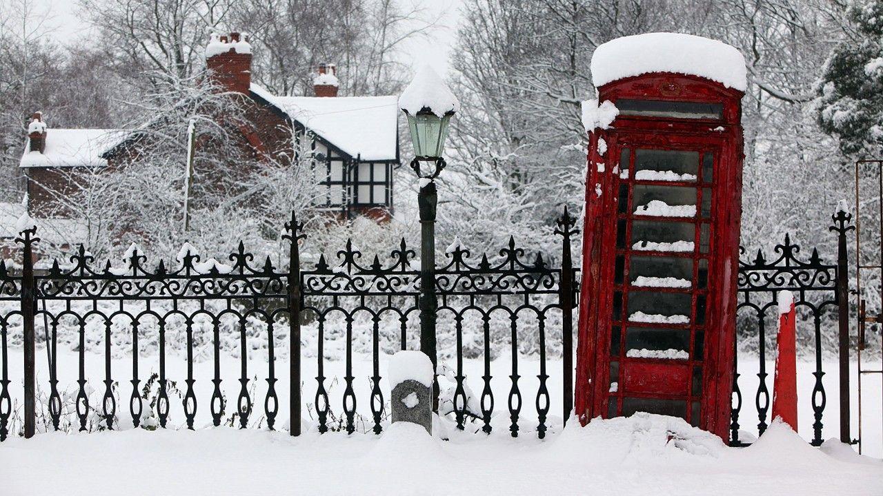
The new year kicked off with a fierce Arctic blast, blanketing parts of the UK in snow and ice while temperatures drop sharply below normal levels. Forecasters from the Met Office predict this prolonged cold spell could disrupt daily life for days, affecting everything from commutes to power supplies. With warnings active across the nation and Scotland bearing the brunt, residents are bracing for challenging conditions that echo some of the harshest winters in recent memory.
Where Snow Is Hitting Hardest in the UK Right Now
Snow showers are intensifying across the UK on this Friday in early 2026, with accumulations expected to build through the weekend in many regions. The Met Office has activated amber warnings for snow in northern Scotland, effective from midday today until tomorrow afternoon, signaling potential for major impacts. Yellow alerts for snow and ice extend over much of England, Wales, and Northern Ireland, where even lighter falls could create slippery hazards on roads and paths. In Scotland, areas like Angus, Perth and Kinross, Aberdeenshire, Moray, Grampian, and sections of the Highlands face the heaviest downpours, possibly leading to blizzards that reduce visibility and strand vehicles in remote spots.
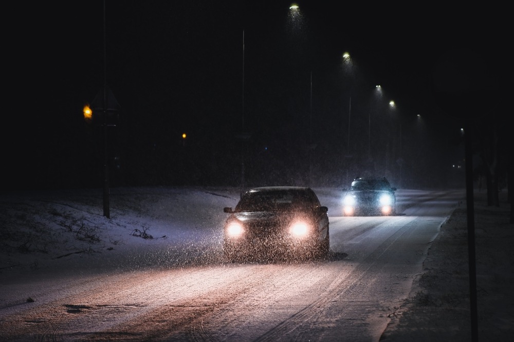
A car navigates icy and snow-covered roads at night during the UK’s ongoing cold spell.
Expected Snowfall Totals and Potential Disruptions
Depending on altitude and location, snowfall could range significantly, with Scotland's higher grounds potentially seeing up to 40cm of accumulation by Saturday evening. Elsewhere in England and Wales, expect around 2 to 5cm in lower areas, though bursts over hills might double that and create drifts in windy conditions. These amounts, combined with freezing overnight lows, will likely form widespread ice patches, amplifying risks on untreated surfaces and prompting concerns over power outages from weighted lines. Even modest snow can snarl traffic and delay services, as seen in similar events last winter when minor flurries caused widespread chaos in urban centers.
Unpacking the Arctic Air Mass Fueling This Cold Snap
A surge of frigid air from the Arctic is pushing southward, plunging the UK into sub-zero territory and setting the stage for persistent wintry weather. Met Office expert Neil Armstrong noted that this setup, which began intensifying just before New Year's Day, might extend deep into next week with additional alerts probable as patterns shift. This cold front fosters ideal conditions for snow showers, heavy frosts, and icy buildups, marking one of the chilliest January openings since the notable freeze of 2010, when similar polar influences gripped the nation for weeks.
Travel Chaos Looms Amid Snow and Ice Warnings
With hazardous conditions forecast, disruptions to transport networks are almost certain, including delays on trains, flight cancellations due to frozen runways, and road closures in elevated or rural zones. Authorities recommend stocking vehicles with essentials like warm blankets, snacks, a charged phone, de-icer tools, and a flashlight for any unavoidable trips. In Scotland, the gritter fleet, complete with playful names such as Sir Andy Flurry and Robert Brrrns, is already patrolling key routes to combat the freeze, but drivers should monitor updates closely to avoid getting caught out.
Health Alerts Highlight Risks for Vulnerable Brits
The UK Health Security Agency activated amber cold weather alerts nationwide in England, emphasizing heightened dangers for older adults and those with chronic illnesses as indoor chills rise. When home temperatures dip below 18°C, risks of heart issues, respiratory problems, and even fatalities increase, straining health services already busy post-holidays. Officials urge checking on elderly neighbors, maintaining steady heating, and layering up to preserve body warmth, drawing from lessons in 2023's cold wave that saw a spike in hospital admissions tied to similar drops.
Outlook for the Coming Days in This Wintry Onslaught
Models indicate the cold grip could hold firm through mid-next week, with ongoing chances for snow and frost that keep the UK locked in winter's embrace. While precise totals remain fluid, the consensus points to continued hazards, urging preparation that could mitigate impacts seen in past spells like the 2018 Beast from the East. Staying informed via official channels will be key as this early 2026 event unfolds.
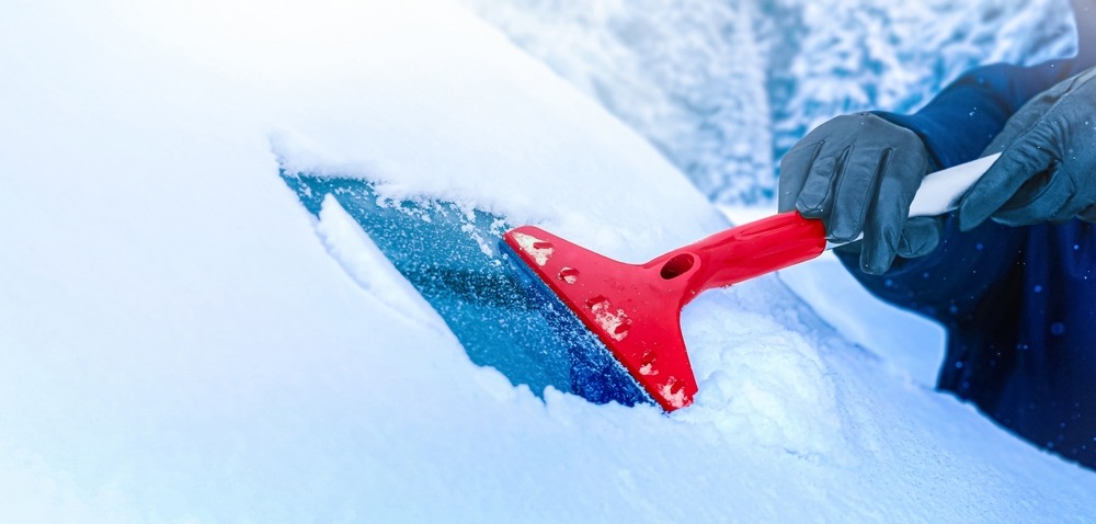
A driver removes ice from their car windscreen during freezing conditions across the UK.
Burning Questions on the UK's Freezing Start to 2026
Is This Cold Spell Linked to Climate Change Patterns?
Experts suggest that while individual weather events like this Arctic outbreak aren't directly caused by climate change, shifting global patterns could make such extremes more frequent in the UK. Warmer oceans and disrupted jet streams, influenced by rising temperatures, sometimes allow polar air to spill southward more readily, leading to intense but shorter cold bursts amid overall milder winters. This dynamic was evident in studies following the 2021 freeze, where researchers noted increased volatility in seasonal norms, prompting calls for better infrastructure resilience against these swings.
What Steps Can Homeowners Take if Power Cuts Hit During Snow?
In the event of outages from snow-laden lines or high winds, prioritize safety by using battery-powered lights, avoiding open flames for heat to prevent carbon monoxide risks, and insulating pipes to stop bursts. Stock non-perishable foods, keep fridges closed to preserve cold, and contact your supplier for updates while using community hubs if needed. Lessons from the 2022 storms, which left thousands without power for days, highlight the value of emergency kits and neighbor networks in rural areas especially.
How Does This Weather Compare to the Infamous 2018 Beast from the East?
The current spell shares similarities with 2018's event, including Siberian-like winds and widespread snow, but forecasters predict a shorter duration this time, potentially easing by late next week rather than lingering for months. Back then, accumulations topped 50cm in spots with record lows, causing economic hits over £1 billion, whereas 2026's version focuses more on Scotland with less severe southern impacts. Advances in warning systems since then have improved public readiness, reducing some of the chaos experienced eight years ago.
As the UK navigates this brisk opening to 2026, a mix of caution and community spirit can turn potential hardships into manageable moments, reminding everyone of winter's unpredictable edge.