Opening a new franchise location is always a big move. But choosing where to expand? That’s where the real work begins. Market potential varies block by block, and the margin between success and struggle often comes down to how well a brand understands its surroundings.
But with the right tools and approach, you can use geographic data to make smarter decisions. And that confidence comes from employing the strategy of territory mapping.
What Geo-Intelligence Really Means
Geo-intelligence might start with a simple map, but it’s the ability to use geographic data (things like demographics, drive-time distances, customer behavior, and competitive presence) that will help you make better business choices. Think of it as location data with a purpose.
Instead of guessing where your customers might be, you can pinpoint them. Instead of assuming two locations offer the same opportunity, you can compare them with real metrics. Geo-intelligence gives you the visibility you need to approach expansion like a strategist.
Why Franchises Depend on Smarter Territory Planning
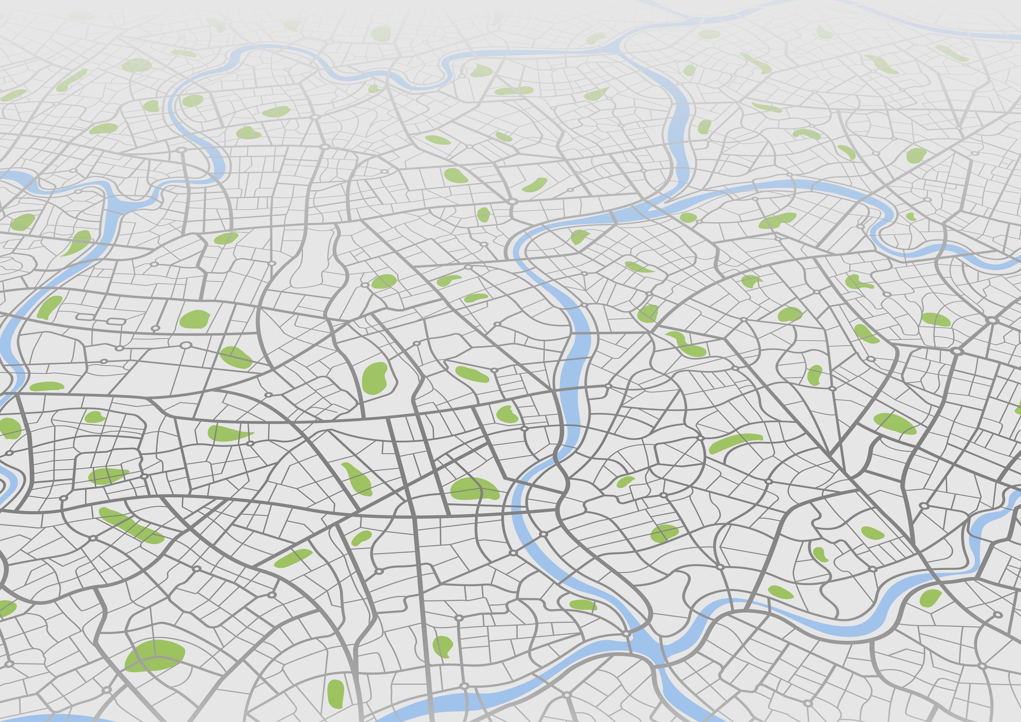
Every franchise system relies on territories, whether they’re loosely drawn or tightly defined. When those boundaries are built on intuition or outdated census data, problems begin to emerge quickly. One franchisee might end up with too much territory to manage. Another might be boxed into an area with too few potential customers.
Good territory mapping fixes that. With the right platform, you can build territories based on actual data, including the number of households, income levels, distance from existing locations, and even drive-time thresholds. That means your territories become fair, strategic, and tailored to what actually exists on the ground. Rather than drawing circles on a map, you’re defining opportunity zones that reflect how people live and move.
Reading the Market Beneath the Surface
On paper, two cities might appear identical: the same population, the same income bracket, and a similar number of businesses. But zoom in with geo-intelligence, and you start to see differences that matter. One neighborhood might be underserved by competitors. Another could have the right demographic profile but suffer from poor accessibility or heavy traffic congestion.
Geo-intelligence tells you where the people are and how they behave. That’s critical for franchises with physical locations, where convenience and visibility play such a large role in success. Territory mapping lets you overlay multiple data sources, like foot traffic, commercial zones, or lifestyle profiles, so you can see the market the way your customers experience it.
Best Practices for Using Geo-Intelligence in Expansion
Franchise systems that grow with confidence tend to follow a few common practices when using geo-intelligence tools:
- Start with the customer data you already have.
Look at your best-performing locations and reverse-engineer their profiles. Who lives nearby, how far do they travel, what’s around them? Use that to inform future territory planning.
- Define boundaries based on behavior, not lines.
Avoid using fixed distances, like “10 miles,” or drawing borders by zip code. Instead, define trade areas based on actual drive times, delivery zones, or walkability.
- Compare markets side by side.
Use a territory mapping tool to model different expansion scenarios. See what changes when you adjust the borders, add competitors, or shift toward denser areas.
- Optimize for growth, not just fairness.
It’s easy to get caught up in trying to make every territory equal. But equal size doesn’t always mean equal opportunity. Let the data guide how you shape and assign territories.
Avoiding Common Pitfalls
Many franchises run into trouble by expanding too quickly without fully understanding the territory. Some rely on outdated demographics or make decisions based on where real estate is available instead of where demand actually exists.
Without geo-intelligence, it’s hard to know whether you’re building a location near your ideal customer or simply near a cheaper lease. Territory mapping tools help remove that guesswork by layering data that matters: foot traffic, competition, income levels, and even lifestyle trends.
A Smarter Way to Scale
Franchise expansion doesn’t need to be risky. With geo-intelligence and precise territory mapping, brands can scale with clarity and control. By transforming raw geographic data into clear, actionable insights, your franchise team can plan smarter, avoid overlap, and build a network that’s strong from the ground up.
So if your next move involves new locations, don’t rely on your gut alone. Let the data show you where your customers really are and where your brand can thrive next.
IMAGE LINK: https://www.pexels.com/photo/open-soon-text-on-window-10518957/